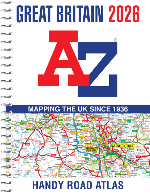
Great Britain A-Z Handy Road Atlas 2026
by Geographers' A-Z Map Co Ltd
$9.75
Description
A full-colour, spiral bound road atlas, now fully revised and updated. Clear detailed road mapping at a scale of 5 miles to 1 inch. Presented in a compact A5 size for ease of storage.
This handy road atlas of Great Britain includes:
- Mileage chart
- Channel Tunnel terminus maps
- Index to cities, towns, villages, hamlets and major destinations
- Map reference information also in French and German
Instantly recognisable and easy to use, the road mapping has been specifically tailored for the smaller scale featuring: clear standard road classification colours for easy identification, motorway junction symbols, under construction and proposed roads, primary route destinations, service areas, National and county boundaries, and a wide range of tourist and ancillary information, including Blue Flag Beaches.
This A-Z Handy Road Atlas of Great Britain and Northern Ireland is the perfect choice for those wanting a compact spiral bound publication with A-Z quality road mapping.
Product Details
- Jun 17, 2025 Pub Date:
- 0008719187 ISBN-10:
- 9780008719180 ISBN-13:
- English Language

Money Back
Love it! Use it! Reuse it!

Free Shipping
Shipping is on us

Free Support
24/24 available
